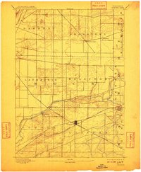
1893 Map of Shopiere
USGS Topo · Published 1910About this map
Clinton Junction serves as the industrial and transportation hub of this southern Wisconsin landscape, where the Chicago Milwaukee and St. Paul Railroad crosses the Chicago and Northwestern Railroad. The 1891 survey captures a period when the agrarian townships of Bradford, Turtle, and Clinton were closely integrated with the rail network. Small rural centers like Emerald Grove and Johnstown Center dot the landscape, while the village of Shopiere and the nearby Shopiere Depot highlight the distinction between older settlements and the newer rail-adjacent developments.
Find a feature on this map
23 named features on this map. Tap any name to fly to it.
Don’t see what you’re looking for? This feature index may not catch every label — zoom into the map to look around manually.
Map Details
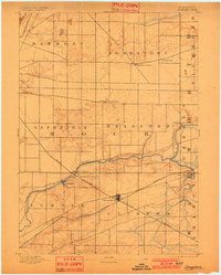
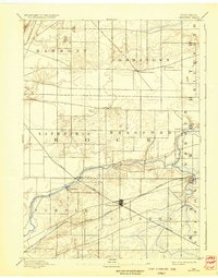
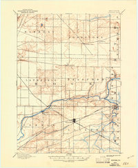
Editions of this 1893 Shopiere Map
5 editions found
Other maps of this area

1890 · Stoughton
USGS Topo · 1:62,500

1891 · Koshkonong
USGS Topo · 1:62,500

1891 · Janesville
USGS Topo · 1:62,500

1892 · Whitewater
USGS Topo · 1:62,500

1893 · Delavan
USGS Topo · 1:62,500

1893 · Whitewater
USGS Topo · 1:62,500

1893 · Janesville
USGS Topo · 1:62,500

1893 · Shopiere
USGS Topo · 1:62,500

1894 · Koshkonong
USGS Topo · 1:62,500

1903 · Whitewater
USGS Topo · 1:62,500