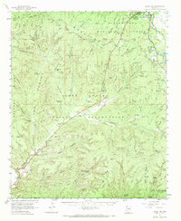
1961 Map of Show Low
USGS Topo · Published 1972About this map
Sitgreaves National Forest and the Fort Apache Indian Reservation dominate this mid-century landscape, divided by the dramatic topographical break of the Mogollon Rim. The settlement of Show Low is visible in the upper right, already established with a Radio Sta (KVWM) and a Pumping Sta AQUEDUCT near Show Low Lake. The map reveals a high-country economy transition, where traditional ranching at Little Spring Ranch and West Ranch exists alongside the emerging water infrastructure of the Lower Cottonwood Tank and various gaging stations.
Find a feature on this map
107 named features on this map. Tap any name to fly to it.
Don’t see what you’re looking for? This feature index may not catch every label — zoom into the map to look around manually.
Map Details
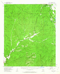
Editions of this 1961 Show Low Map
2 editions found
Other maps of this area

1886 · St Johns
USGS Topo · 1:250,000

1886 · Holbrook
USGS Topo · 1:250,000

1892 · St Johns
USGS Topo · 1:250,000

1893 · Holbrook
USGS Topo · 1:250,000

1954 · Holbrook
USGS Topo · 1:250,000

1954 · Clifton
USGS Topo · 1:250,000

1954 · Saint Johns
USGS Topo · 1:250,000

1954 · Mesa
USGS Topo · 1:250,000

1957 · Mesa
USGS Topo · 1:250,000

1957 · Holbrook
USGS Topo · 1:250,000