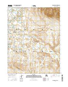
2016 Map of Shungnak C-5 NE
USGS Topo · Published 2016About this map
The Kugarak River meanders through the northwest corner of this subarctic landscape, where a dense network of lakes and wetlands defines the terrain. The hydrology is dominated by the winding course of the Rabbit River, which snakes across the central and southern portions of the quadrangle. The lack of infrastructure highlights the isolation of this portion of the Northwest Arctic Borough, where land management is organized by township boundaries such as T16n R3e and T15n R4e. The topography reveals a complex drainage pattern where seasonal meltwater feeds into the larger river systems, illustrating a typical Alaskan river basin before modern development.
Find a feature on this map
8 named features on this map. Tap any name to fly to it.
Don’t see what you’re looking for? This feature index may not catch every label — zoom into the map to look around manually.
Map Details
Editions of this 2016 Shungnak C-5 NE Map
This is the sole edition of this map. No revisions or reprints were ever made.
Other maps of this area

1951 · Shungnak
USGS Topo · 1:250,000

1955 · Shungnak
USGS Topo · 1:250,000

1955 · Shungnak D-4
USGS Topo · 1:63,360

1955 · Shungnak D-5
USGS Topo · 1:63,360

1964 · Shungnak
USGS Topo · 1:250,000
1985 · Shungnak C-5
USGS Topo · 1:63,360
1985 · Shungnak C-4
USGS Topo · 1:63,360
2015 · Shungnak C-5 NW
USGS Topo · 1:25,000
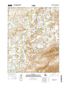
2015 · Shungnak D-5 SE
USGS Topo · 1:25,000
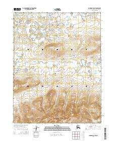
2015 · Shungnak D-4 SW
USGS Topo · 1:25,000