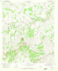
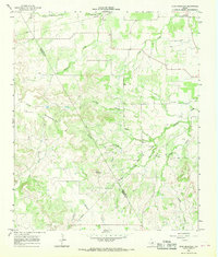
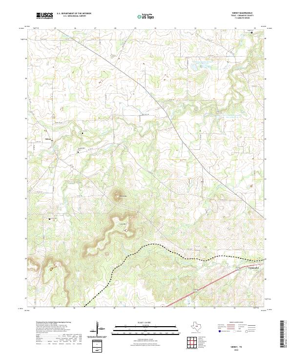
1969 Map of Sidney
USGS Topo · Published 1972This historical map portrays the area of Sidney in 1969, primarily covering Comanche County. Featuring a scale of 1:24000, this map provides a highly detailed snapshot of the terrain, roads, buildings, counties, and historical landmarks in the Sidney region at the time. Published in 1972, it is the sole known edition of this map.
Find a feature on this map
21 named features on this map. Tap any name to fly to it.
Don’t see what you’re looking for? This feature index may not catch every label — zoom into the map to look around manually.
Map Details
Editions of this 1969 Sidney Map
This is the sole edition of this map. No revisions or reprints were ever made.
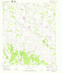
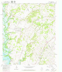
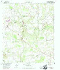
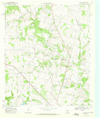
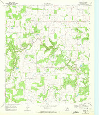
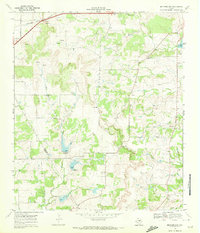
Historical Maps of Comanche County Through Time
18 maps found
1956 Edna Hill
Comanche County, TX
1965 Comyn
Comanche County, TX
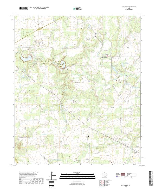
1966 Sipe Springs
Comanche County, TX
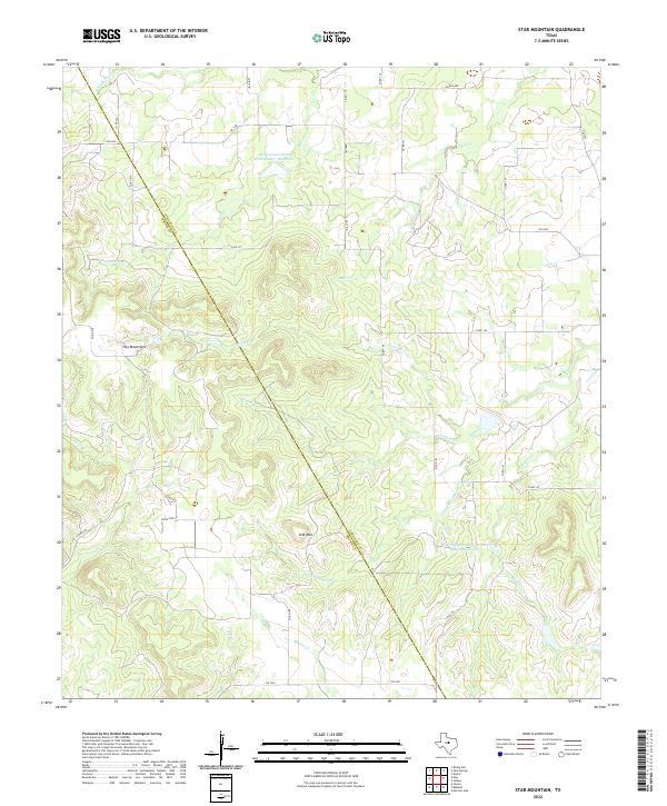
1966 Star Mountain
Comanche County, TX
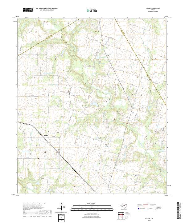
1968 Rucker
Comanche County, TX
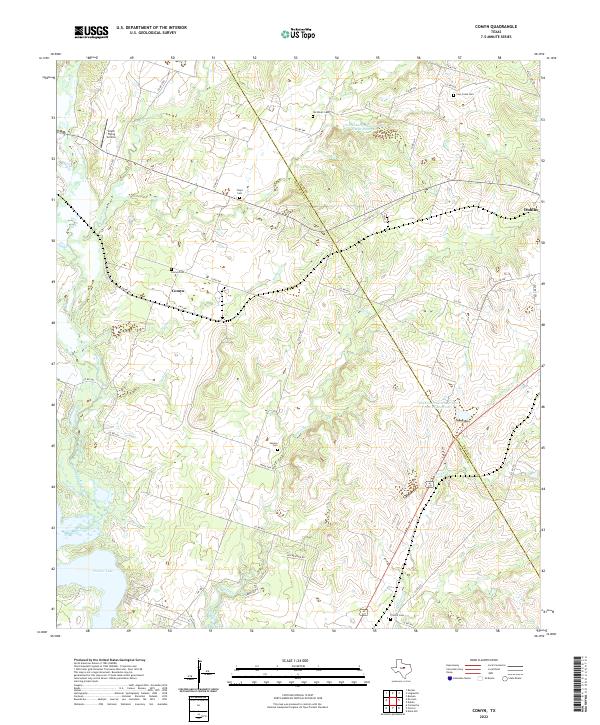
1969 Duster
Comanche County, TX
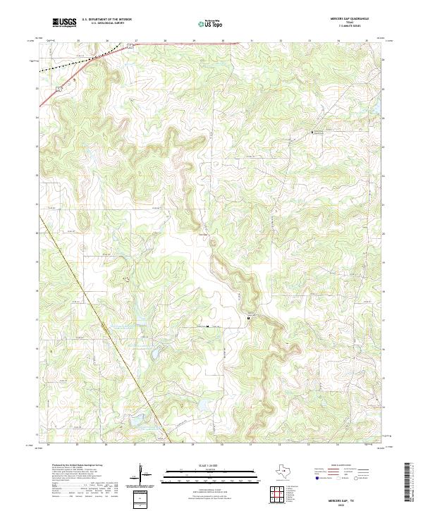
1969 Mercers Gap
Comanche County, TX
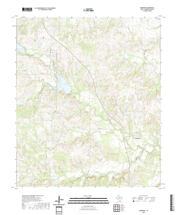
1969 Newburg
Comanche County, TX
1969 Sidney
Comanche County, TX
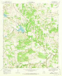
2022 Comyn
Comanche County, TX
2022 Duster
Comanche County, TX
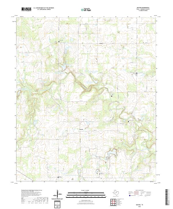
2022 Edna Hill
Comanche County, TX
2022 Mercers Gap
Comanche County, TX
2022 Newburg
Comanche County, TX
2022 Rucker
Comanche County, TX
2022 Sidney
Comanche County, TX
2022 Sipe Springs
Comanche County, TX
2022 Star Mountain
Comanche County, TX