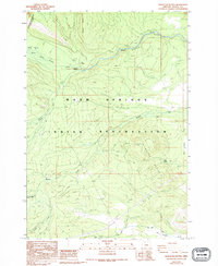
1988 Map of Sidwalter Buttes
USGS Topo · Published 1994About this map
The Warm Springs Indian Reservation landscape is defined by the prominent Sidwalter Buttes and a network of high-desert water sources and ridges. A significant historical marker is the Old Indian Reservation Boundary (Gumsey Line 1882) which cuts across the northwestern corner, providing a specific reference to late 19th-century land management and surveying. The terrain transitions from the elevations of Long Ridge down to the riparian zones of the Warm Springs River and Warm Springs Meadow.
Find a feature on this map
18 named features on this map. Tap any name to fly to it.
Don’t see what you’re looking for? This feature index may not catch every label — zoom into the map to look around manually.
Map Details
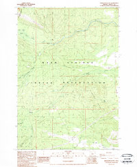
Editions of this 1988 Sidwalter Buttes Map
2 editions found
Other maps of this area

1924 · Mount Hood
USGS Topo · 1:125,000

1927 · Mount Hood
USGS Topo · 1:125,000

1927 · Mt. Jefferson
USGS Topo · 1:125,000

1928 · Madras
USGS Topo · 1:125,000

1930 · Mt. Jefferson
USGS Topo · 1:125,000

1930 · Dufur
USGS Topo · 1:125,000

1931 · Madras
USGS Topo · 1:125,000

1934 · Dufur
USGS Topo · 1:125,000

1953 · The Dalles
USGS Topo · 1:250,000

1955 · Bend
USGS Topo · 1:250,000