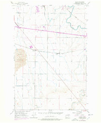
1956 Map of Sieler
USGS Topo · Published 1978About this map
The Chicago Milwaukee St Paul and Pacific railroad forms the industrial spine of this mid-century Washington landscape, connecting the small rail settlements of Sieler and McDonald. The infrastructure of the Columbia Basin Project is evident in the complex network of water management features, including the East Low Canal and numerous siphons that traverse the terrain to support local agriculture. This irrigation enabled the development of local industry, represented by the Sugar Beet Refinery in the northern portion of the sheet.
Find a feature on this map
13 named features on this map. Tap any name to fly to it.
Don’t see what you’re looking for? This feature index may not catch every label — zoom into the map to look around manually.
Map Details
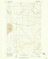
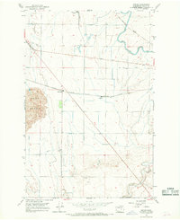
Editions of this 1956 Sieler Map
Other maps of this area

1912 · Moses Lake
USGS Topo · 1:62,500

1923 · Corfu
USGS Topo · 1:62,500

1923 · Wheeler
USGS Topo · 1:62,500

1924 · Othello
USGS Topo · 1:62,500

1925 · Wheeler
USGS Topo · 1:62,500

1951 · Corfu
USGS Topo · 1:62,500

1953 · Walla Walla
USGS Topo · 1:250,000

1953 · Ritzville
USGS Topo · 1:250,000

1954 · Warden
USGS Topo · 1:24,000

1954 · Soda Lake
USGS Topo · 1:24,000