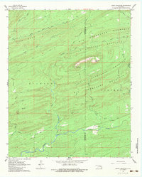
1962 Map of Signal Mountain
USGS Topo · Published 1983About this map
The ridge of Signal Mountain dominates this survey of the mountainous borderland between Pushmataha and McCurtain counties. A prominent Signal Mountain Lookout Tower stands near East Signal Peak, providing a high vantage point over a complex network of named peaks including John Noah Mountain, Big Horseshoe Mountain, and Sulphur Mountain. The terrain is characterized by a dense system of seasonal and perennial waterways like North Holly Creek and West Terrapin and East Terrapin creeks, which carve deep valleys through the heavily wooded ridges.
Find a feature on this map
39 named features on this map. Tap any name to fly to it.
Don’t see what you’re looking for? This feature index may not catch every label — zoom into the map to look around manually.
Map Details
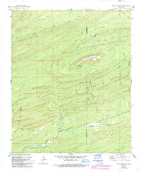
Editions of this 1962 Signal Mountain Map
3 editions found
Other maps of this area

1901 · Alikchi
USGS Topo · 1:125,000

1902 · Lukfata
USGS Topo · 1:125,000

1950 · Mcalester
USGS Topo · 1:250,000

1959 · Golden
USGS Topo · 1:62,500

1960 · Bethel
USGS Topo · 1:62,500

1962 · McAlester
USGS Topo · 1:250,000

1962 · Sobol
USGS Topo · 1:24,000

1962 · Caney Mountain
USGS Topo · 1:24,000

1962 · Alikchi
USGS Topo · 1:24,000

1962 · Signal Mountain
USGS Topo · 1:24,000