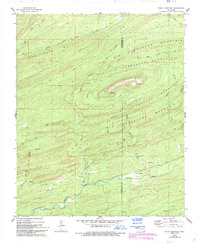
1962 Map of Signal Mountain
USGS Topo · Published 1993About this map
The boundary between Pushmataha Co and McCurtain Co cuts through this high-elevation landscape, where the Signal Mountain range dominates the local topography. This 1962 field-checked data shows a region defined by complex ridgelines and name-bearing peaks like East Signal Peak. A network of early access routes, including the Harry Rowe Trail, Dead End Trail, and Billy Bell Trail, provides insight into the mid-century passage through these forests.
Find a feature on this map
25 named features on this map. Tap any name to fly to it.
Don’t see what you’re looking for? This feature index may not catch every label — zoom into the map to look around manually.
Map Details
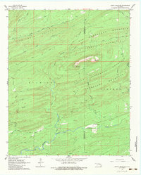
Editions of this 1962 Signal Mountain Map
3 editions found
Other maps of this area

1901 · Alikchi
USGS Topo · 1:125,000

1902 · Lukfata
USGS Topo · 1:125,000

1950 · Mcalester
USGS Topo · 1:250,000

1959 · Golden
USGS Topo · 1:62,500

1960 · Bethel
USGS Topo · 1:62,500

1962 · McAlester
USGS Topo · 1:250,000

1962 · Sobol
USGS Topo · 1:24,000

1962 · Caney Mountain
USGS Topo · 1:24,000

1962 · Alikchi
USGS Topo · 1:24,000

1962 · Signal Mountain
USGS Topo · 1:24,000