
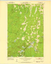
1952 Map of Silica
USGS Topo · Published 1954About this map
Silica and the surrounding Iron Range landscape of the early 1950s are defined by a complex network of industrial and natural features. The Duluth Missabe and Iron Range and Great Northern railroads dominate the northern and central sections, reflecting the region's intensive mining and logging economy. Near the southern boundary, the settlement of Silica is anchored by St Theresa Ch, situated just east of the Floodwood Memorial Forest.
Find a feature on this map
30 named features on this map. Tap any name to fly to it.
Don’t see what you’re looking for? This feature index may not catch every label — zoom into the map to look around manually.
Map Details
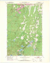
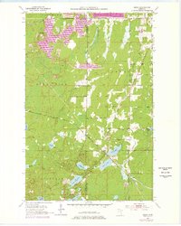
Editions of this 1952 Silica Map
4 editions found
Other maps of this area

1951 · Hibbing
USGS Topo · 1:24,000

1952 · Keewatin
USGS Topo · 1:24,000

1952 · Riley
USGS Topo · 1:24,000

1952 · Nashwauk
USGS Topo · 1:24,000

1952 · Pengilly
USGS Topo · 1:24,000

1954 · Hibbing
USGS Topo · 1:250,000

1957 · Hibbing
USGS Topo · 1:250,000

1957 · Hibbing
USGS Topo · 1:24,000

1958 · Hibbing
USGS Topo · 1:250,000

1963 · Upstead Lake
USGS Topo · 1:24,000