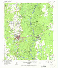
1955 Map of Silsbee
USGS Topo · Published 1963About this map
The Neches River forms a serpentine border between Hardin and Jasper counties, winding through a complex landscape of sloughs and bottomlands like Sand Slough and Bear Woods Flat. The town of Silsbee serves as the regional hub, situated at the intersection of the Gulf Colorado and Santa Fe and the At & SF railroads. This era was defined by intensive natural resource extraction, evidenced by the extensive Silsbee Oil Field and Beech Creek Oil Field that pepper the piney woods with wells and pipelines.
Find a feature on this map
108 named features on this map. Tap any name to fly to it.
Don’t see what you’re looking for? This feature index may not catch every label — zoom into the map to look around manually.
Map Details
Editions of this 1955 Silsbee Map
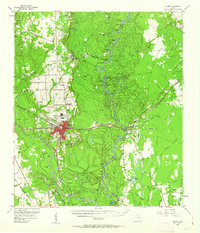
Other maps of this area

1926 · Lakeview
USGS Topo · 1:24,000

1926 · Texla
USGS Topo · 1:24,000

1932 · Beaumont
USGS Topo · 1:62,500

1943 · Texla
USGS Topo · 1:24,000

1952 · Lake Charles
USGS Topo · 1:250,000

1954 · Lake Charles
USGS Topo · 1:250,000

1954 · Beaumont
USGS Topo · 1:250,000

1955 · Silsbee
USGS Topo · 1:62,500

1955 · Kountze
USGS Topo · 1:62,500

1955 · Bessmay
USGS Topo · 1:62,500