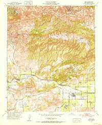
1951 Map of Simi
USGS Topo · Published 1952About this map
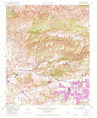
Simi Valley is anchored by the small grid of Simi and the developing transit hub at Simi Sta along the Southern Pacific railroad. This early 1950s survey captures a landscape defined by citrus groves and sprawling ranch lands before the mid-century suburban expansion. The community of Moorpark sits at the western edge of the valley, near the junction where the Arroyo Simi meets the drainage of Little Simi Valley. To the south, the Tierra Rejada Valley remains largely agricultural, featuring a Landing Field and early roads like Tierra Rejada Road. The northern horizon is dominated by the steep slopes of Oak Ridge and Big Mountain, intersected by deep drainages such as Happy Camp Canyon and Alamos Canyon, where several oil wells are marked amidst the rugged topography.
Find a feature on this map
27 named features on this map. Tap any name to fly to it.
Don’t see what you’re looking for? This feature index may not catch every label — zoom into the map to look around manually.
Map Details
Editions of this 1951 Simi Map
6 editions found
Other maps of this area

1900 · Triunfo Pass
USGS Topo · 1:62,500

1900 · Piru
USGS Topo · 1:62,500

1903 · Calabasas
USGS Topo · 1:62,500

1903 · Camulos
USGS Topo · 1:125,000

1903 · Santa Susana
USGS Topo · 1:62,500

1921 · Piru
USGS Topo · 1:62,500

1921 · Triunfo Pass
USGS Topo · 1:62,500

1941 · Piru
USGS Topo · 1:62,500
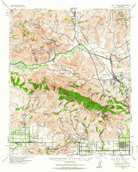
1941 · Santa Susana
USGS Topo · 1:62,500
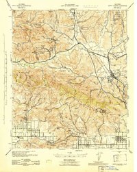
1943 · Santa Susana
USGS Topo · 1:62,500