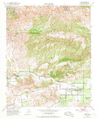
1951 Map of Simi
USGS Topo · Published 1968About this map
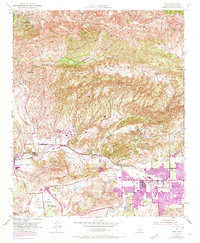
Simi Valley and the surrounding high ridges define the landscape of eastern Ventura County in the early 1950s. The settlement at Moorpark and the Virginia Colony cluster along the western edge, while the town of Simi anchors the central valley floor. This era is marked by a nascent transition from agricultural land use to early suburban development, though vast tracts remain dedicated to ranching and resource extraction. Significant oil wells and oil tanks are concentrated on the northern slopes of Oak Ridge, reflecting the industrial importance of the region's petroleum fields.
Find a feature on this map
37 named features on this map. Tap any name to fly to it.
Don’t see what you’re looking for? This feature index may not catch every label — zoom into the map to look around manually.
Map Details
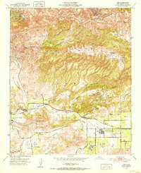
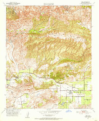
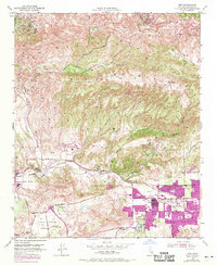
Editions of this 1951 Simi Map
6 editions found
Other maps of this area

1900 · Triunfo Pass
USGS Topo · 1:62,500

1900 · Piru
USGS Topo · 1:62,500

1903 · Calabasas
USGS Topo · 1:62,500

1903 · Camulos
USGS Topo · 1:125,000

1903 · Santa Susana
USGS Topo · 1:62,500

1921 · Piru
USGS Topo · 1:62,500

1921 · Triunfo Pass
USGS Topo · 1:62,500

1941 · Piru
USGS Topo · 1:62,500
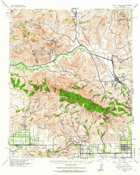
1941 · Santa Susana
USGS Topo · 1:62,500
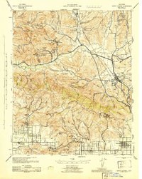
1943 · Santa Susana
USGS Topo · 1:62,500