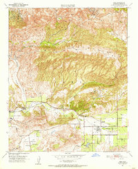
1951 Map of Simi
USGS Topo · Published 1955About this map
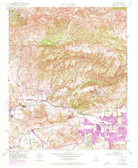
Simi Valley is shown in the early 1950s as a developing agricultural and ranching corridor defined by the Southern Pacific rail line and the winding path of Arroyo Simi. The town of Simi is clustered along Royal Ave and Pitts Road, while to the west, Moorpark serves as a secondary hub near the Virginia Colony and Little Simi Valley. The map reveals a landscape transitioning from open ranchland to more structured settlement, with a Landing Field and a Cem providing markers of community growth.
Find a feature on this map
29 named features on this map. Tap any name to fly to it.
Don’t see what you’re looking for? This feature index may not catch every label — zoom into the map to look around manually.
Map Details
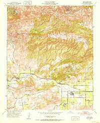
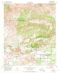
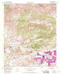
Editions of this 1951 Simi Map
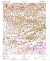
6 editions found
Other maps of this area

1900 · Triunfo Pass
USGS Topo · 1:62,500

1900 · Piru
USGS Topo · 1:62,500

1903 · Calabasas
USGS Topo · 1:62,500

1903 · Camulos
USGS Topo · 1:125,000

1903 · Santa Susana
USGS Topo · 1:62,500

1921 · Piru
USGS Topo · 1:62,500

1921 · Triunfo Pass
USGS Topo · 1:62,500

1941 · Piru
USGS Topo · 1:62,500
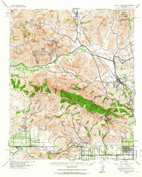
1941 · Santa Susana
USGS Topo · 1:62,500
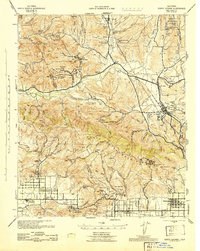
1943 · Santa Susana
USGS Topo · 1:62,500