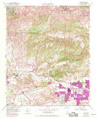
1951 Map of Simi
USGS Topo · Published 1970About this map
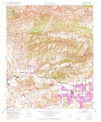
Big Mountain and Oak Ridge define the high terrain of this portion of Ventura County, where the valley floor transitions from agricultural use to suburban expansion. The 1969 revisions, indicated in purple, highlight the rapid residential growth of Simi and Moorpark during the post-war era. Infrastructure like the Southern Pacific railroad and the Rejada Road serve as the primary conduits through the Little Simi Valley.
Find a feature on this map
33 named features on this map. Tap any name to fly to it.
Don’t see what you’re looking for? This feature index may not catch every label — zoom into the map to look around manually.
Map Details
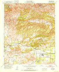
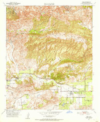
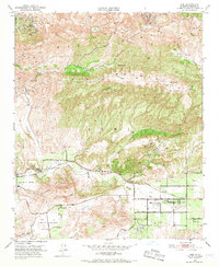
Editions of this 1951 Simi Map
6 editions found
Other maps of this area

1900 · Triunfo Pass
USGS Topo · 1:62,500

1900 · Piru
USGS Topo · 1:62,500

1903 · Calabasas
USGS Topo · 1:62,500

1903 · Camulos
USGS Topo · 1:125,000

1903 · Santa Susana
USGS Topo · 1:62,500

1921 · Piru
USGS Topo · 1:62,500

1921 · Triunfo Pass
USGS Topo · 1:62,500

1941 · Piru
USGS Topo · 1:62,500
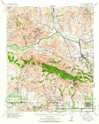
1941 · Santa Susana
USGS Topo · 1:62,500
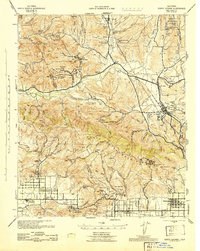
1943 · Santa Susana
USGS Topo · 1:62,500