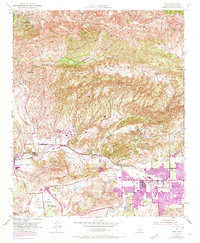
1951 Map of Simi
USGS Topo · Published 1973About this map
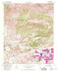
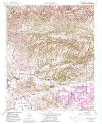
The Simi Valley floor and surrounding foothills are captured here in a period of significant transition, reflecting both established agricultural roots and mid-century suburban expansion. Centered on the Southern Pacific rail line, the landscape is defined by the Arroyo Simi drainage and the towering heights of Oak Ridge and Big Mountain. To the west, the Virginia Colony and Moorpark settlements maintain a distinct presence, while the eastern Simi area shows the purple-tinted hallmarks of late-1960s growth, including new residential grids and several local schools like Simi Valley High Sch and Madera Sch.
Find a feature on this map
39 named features on this map. Tap any name to fly to it.
Don’t see what you’re looking for? This feature index may not catch every label — zoom into the map to look around manually.
Map Details
Editions of this 1951 Simi Map
6 editions found
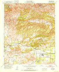
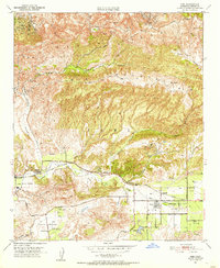
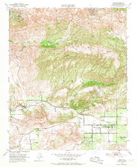
Other maps of this area

1900 · Triunfo Pass
USGS Topo · 1:62,500

1900 · Piru
USGS Topo · 1:62,500

1903 · Calabasas
USGS Topo · 1:62,500

1903 · Camulos
USGS Topo · 1:125,000

1903 · Santa Susana
USGS Topo · 1:62,500

1921 · Piru
USGS Topo · 1:62,500

1921 · Triunfo Pass
USGS Topo · 1:62,500

1941 · Piru
USGS Topo · 1:62,500
1941 · Santa Susana
USGS Topo · 1:62,500
1943 · Santa Susana
USGS Topo · 1:62,500