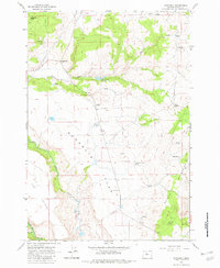
1962 Map of Simnasho
USGS Topo · Published 1982About this map
Simnasho serves as the central hub for this portion of the Warm Springs Indian Reservation, characterized by a transition from high plateau flats to the river valley. The landscape is defined by the Mutton Mountains to the east and the prominent Simnasho Butte in the northwest, with the Warm Springs River cutting through the southern reaches. This 1960s-era documentation shows a settlement pattern focused on essential community infrastructure, including a School and the Simnasho Cemetery.
Find a feature on this map
28 named features on this map. Tap any name to fly to it.
Don’t see what you’re looking for? This feature index may not catch every label — zoom into the map to look around manually.
Map Details
Editions of this 1962 Simnasho Map
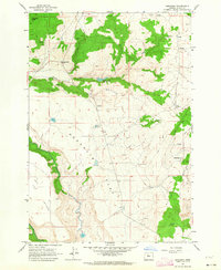
2 editions found
Other maps of this area

1928 · Madras
USGS Topo · 1:125,000

1930 · Dufur
USGS Topo · 1:125,000

1931 · Madras
USGS Topo · 1:125,000

1934 · Dufur
USGS Topo · 1:125,000

1953 · The Dalles
USGS Topo · 1:250,000

1955 · Bend
USGS Topo · 1:250,000

1956 · The Dalles
USGS Topo · 1:250,000

1957 · Bend
USGS Topo · 1:250,000

1957 · The Dalles
USGS Topo · 1:250,000

1958 · Bend
USGS Topo · 1:250,000