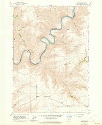
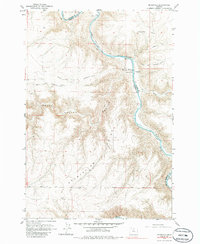
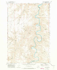
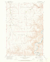
1962 Map of Sinamox
USGS Topo · Published 1964This historical map portrays the area of Sinamox in 1962, primarily covering Sherman County as well as portions of Wasco County. Featuring a scale of 1:24000, this map provides a highly detailed snapshot of the terrain, roads, buildings, counties, and historical landmarks in the Sinamox region at the time. Published in 1964, it is one of 2 known editions of this map due to revisions or reprints.
Find a feature on this map
23 named features on this map. Tap any name to fly to it.
Don’t see what you’re looking for? This feature index may not catch every label — zoom into the map to look around manually.
Map Details
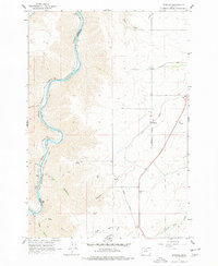
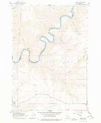
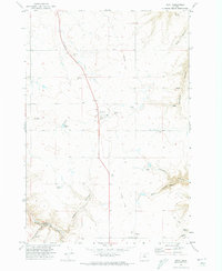
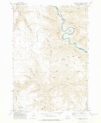
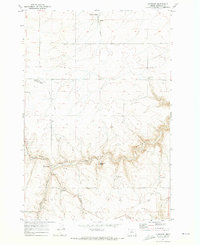
Editions of this 1962 Sinamox Map
2 editions found
Historical Maps of Wasco County Through Time
11 maps found
1962 Erskine
Sherman County, OR
1962 Sinamox
Sherman County, OR
1964 Mc Donald
Sherman County, OR
1970 Indian Cove
Sherman County, OR
1970 Kent
Sherman County, OR
1970 Rosebush
Sherman County, OR
1971 Bronx Canyon
Sherman County, OR
1971 Harmony
Sherman County, OR
1971 Horseshoe Bend
Sherman County, OR
1971 Klondike
Sherman County, OR
1974 Locust Grove
Sherman County, OR