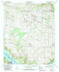
1954 Map of Sinking Creek
USGS Topo · Published 1988About this map
Rhodesville and Oakland anchor this mid-century survey of the Alabama-Tennessee borderlands, where the landscape is defined by the subterranean drainage of Sinking Creek. The terrain is marked by numerous karst features, including the Bell Sink and several named depressions like Wynne Pond and Big Hill Pond. In the south, the Tennessee River expands into Pickwick Lake, with the Sevenmile Island Wildlife Management Area occupying the riverbed flats near Cane Creek.
Find a feature on this map
62 named features on this map. Tap any name to fly to it.
Don’t see what you’re looking for? This feature index may not catch every label — zoom into the map to look around manually.
Map Details
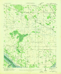
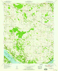
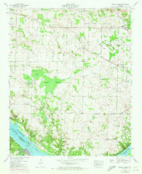
Editions of this 1954 Sinking Creek Map
4 editions found
Other maps of this area

1914 · Muscle Shoals
USGS Topo · 1:48,000

1916 · Muscle Shoals
USGS Topo · 1:62,500

1924 · Tuscumbia
USGS Topo · 1:48,000

1924 · Gravelly Springs
USGS Topo · 1:48,000

1925 · Barton
USGS Topo · 1:62,500

1926 · Tuscumbia
USGS Topo · 1:62,500

1926 · Barton
USGS Topo · 1:48,000

1926 · Gravelly Springs
USGS Topo · 1:62,500

1929 · Barton
USGS Topo · 1:62,500

1935 · Cherokee
USGS Topo · 1:24,000