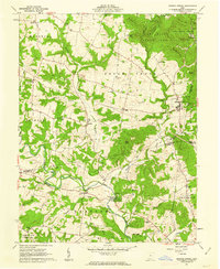
1961 Map of Sinking Spring
USGS Topo · Published 1962About this map
Indian Mounds and archaeological landmarks anchor this portion of the Virginia Military District, where the hills of Highland and Adams counties meet. The map centers on Sinking Spring, a village established at a crossroads near the headwaters of Baker Fork. The landscape is defined by its deep cultural history, most notably Serpent Mound State Park in the south and the high earthworks of Fort Hill State Park in the northeast.
Find a feature on this map
62 named features on this map. Tap any name to fly to it.
Don’t see what you’re looking for? This feature index may not catch every label — zoom into the map to look around manually.
Map Details
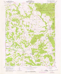
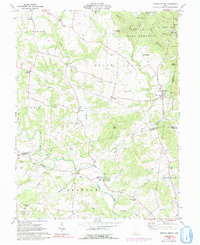
Editions of this 1961 Sinking Spring Map
Other maps of this area

1915 · Bainbridge
USGS Topo · 1:48,000

1916 · Peebles
USGS Topo · 1:62,500

1917 · Bainbridge
USGS Topo · 1:62,500

1917 · Hillsboro
USGS Topo · 1:62,500

1918 · Peebles
USGS Topo · 1:62,500

1918 · Seaman
USGS Topo · 1:62,500

1944 · Hillsboro
USGS Topo · 1:62,500

1947 · Columbus
USGS Topo · 1:250,000

1957 · Huntington
USGS Topo · 1:250,000

1960 · Huntington
USGS Topo · 1:250,000