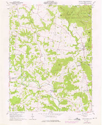
1961 Map of Sinking Spring
USGS Topo · Published 1976About this map
Serpent Mound State Memorial anchors the southern landscape of this 1961 survey, where the ancient Indian Mounds overlook the winding course of Ohio Brush Creek. This section of southern Ohio is defined by significant archaeological and natural preserves, including the massive earthworks at Fort Hill State Memorial and the wooded ridges of Pike State Forest. The settlement pattern follows the drainages and ridges, with the village of Sinking Spring serving as a central hub at the intersection of several regional routes.
Find a feature on this map
61 named features on this map. Tap any name to fly to it.
Don’t see what you’re looking for? This feature index may not catch every label — zoom into the map to look around manually.
Map Details
Editions of this 1961 Sinking Spring Map
Other maps of this area

1915 · Bainbridge
USGS Topo · 1:48,000

1916 · Peebles
USGS Topo · 1:62,500

1917 · Bainbridge
USGS Topo · 1:62,500

1917 · Hillsboro
USGS Topo · 1:62,500

1918 · Peebles
USGS Topo · 1:62,500

1918 · Seaman
USGS Topo · 1:62,500

1944 · Hillsboro
USGS Topo · 1:62,500

1947 · Columbus
USGS Topo · 1:250,000

1957 · Huntington
USGS Topo · 1:250,000

1960 · Huntington
USGS Topo · 1:250,000