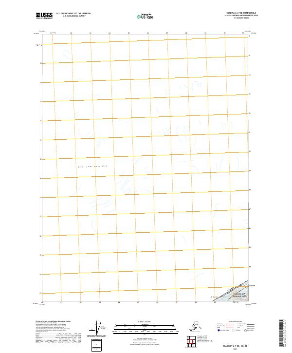
2021 Map of Skagway A-7 SE
USGS Topo · Published 2021About this map
The high alpine environment of the Saint Elias Mountains dominates this portion of the northern frontier. This 2021 survey illustrates the point where the wilderness of Glacier Bay National Park meets the international boundary between the Canada United States of America. Notable elevations include the peak of Mt Turner, providing a snapshot of the glaciated terrain in the Skagway A-7 SE quadrangle. The lack of infrastructure or settlements on this sheet highlights the isolation of this sector within the Hoonah-Angoon Census Area, where the landscape is defined by massive ice fields and high-altitude peaks rather than human development.
Find a feature on this map
5 named features on this map. Tap any name to fly to it.
Don’t see what you’re looking for? This feature index may not catch every label — zoom into the map to look around manually.
Map Details
Editions of this 2021 Skagway A-7 SE Map
This is the sole edition of this map. No revisions or reprints were ever made.
Other maps of this area

1951 · Mt Fairweather
USGS Topo · 1:250,000

1952 · Skagway
USGS Topo · 1:250,000

1961 · Skagway A-7
USGS Topo · 1:63,360

1961 · Mount Fairweather D-4
USGS Topo · 1:63,360
1961 · Skagway A-6
USGS Topo · 1:63,360

1961 · Mount Fairweather D-5
USGS Topo · 1:63,360

1961 · Mt Fairweather
USGS Topo · 1:250,000

1961 · Skagway
USGS Topo · 1:250,000
2017 · Mount Fairweather D-4 NW
USGS Topo · 1:25,000
2017 · Mount Fairweather D-5 NE
USGS Topo · 1:25,000