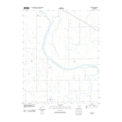
2009 Map of Skedee
USGS Topo · Published 2009About this map
Skedee sits at the southern edge of this Oklahoma landscape, a small settlement defined by its proximity to the wide, winding Arkansas River. In 2009, this area in Pawnee County maintains a strong connection to its rural heritage through numerous family and community burial grounds, including Riverside Cemetery, Mount Pleasant Cemetery, Wheeler Cemetery, and Endicott Cemetery. The river system is the primary geographic driver here, joined by significant tributaries like Black Bear Creek, Gray Horse Creek, and Crystal Creek. A notable man-made feature is the P S O Lake, held by the P S O Lake Dam, which provides a local water reservoir within the river's floodplain. The section-line road network, composed of routes like e0400 RD and n3520 RD, illustrates the systematic land division of the region, connecting remote homesteads to the river crossings and the village of Skedee.
Find a feature on this map
36 named features on this map. Tap any name to fly to it.
Don’t see what you’re looking for? This feature index may not catch every label — zoom into the map to look around manually.
Map Details
Editions of this 2009 Skedee Map
This is the sole edition of this map. No revisions or reprints were ever made.
Other maps of this area

1929 · Skedee
USGS Topo · 1:62,500

1930 · Pawnee
USGS Topo · 1:62,500

1931 · Skedee
USGS Topo · 1:62,500

1932 · Fairfax
USGS Topo · 1:62,500

1936 · Belford
USGS Topo · 1:62,500

1936 · Pawnee
USGS Topo · 1:62,500

1955 · Enid
USGS Topo · 1:250,000

1958 · Enid
USGS Topo · 1:250,000
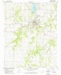
1978 · Pawnee
USGS Topo · 1:24,000
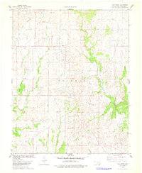
1978 · Lucy Creek
USGS Topo · 1:24,000