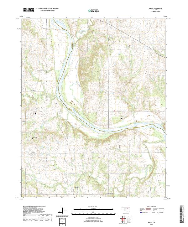
2022 Map of Skedee
USGS Topo · Published 2022About this map
Skedee sits at the heart of this landscape where the boundaries of Pawnee Co and Osage Co meet along the winding course of the Arkansas River. This modern survey reveals a rural territory defined by its hydrology and small-town infrastructure, including the northern settlement of Jobes and several community burial grounds such as Riverside Cem and Wheeler Cem. The river's influence is evident in the many tributaries carving the terrain, from Gray Horse Creek in the north to Black Bear Creek in the southeast.
Find a feature on this map
38 named features on this map. Tap any name to fly to it.
Don’t see what you’re looking for? This feature index may not catch every label — zoom into the map to look around manually.
Map Details
Editions of this 2022 Skedee Map
This is the sole edition of this map. No revisions or reprints were ever made.
Other maps of this area

1929 · Skedee
USGS Topo · 1:62,500

1930 · Pawnee
USGS Topo · 1:62,500

1931 · Skedee
USGS Topo · 1:62,500

1932 · Fairfax
USGS Topo · 1:62,500

1936 · Belford
USGS Topo · 1:62,500

1936 · Pawnee
USGS Topo · 1:62,500

1955 · Enid
USGS Topo · 1:250,000

1958 · Enid
USGS Topo · 1:250,000
1978 · Pawnee
USGS Topo · 1:24,000
1978 · Lucy Creek
USGS Topo · 1:24,000