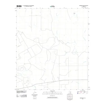
2010 Map of Skidmore NE
USGS Topo · Published 2010About this map
Blanco Creek and Medio Creek define the drainage patterns of this South Texas landscape in Bee County. This 2010 survey illustrates a primarily rural environment where agricultural land is partitioned by county routes such as Co RD 416 and Cobb Neb Rd. A significant point of interest for genealogists is the Mucorrera Cemetery, situated in the northeastern quadrant near the headwaters of Mucorrera Creek. The map details a complex network of seasonal and perennial waterways, including Murphy Creek, Neddy Creek, and Goat Creek, which suggest the low-lying, riparian nature of the local geography. The absence of major urban centers highlights the area's continued reliance on ranching and farming infrastructure common to the region north of the Texas Gulf Coast.
Find a feature on this map
12 named features on this map. Tap any name to fly to it.
Don’t see what you’re looking for? This feature index may not catch every label — zoom into the map to look around manually.
Map Details
Editions of this 2010 Skidmore NE Map
This is the sole edition of this map. No revisions or reprints were ever made.
Other maps of this area

1953 · Beeville
USGS Topo · 1:250,000

1954 · Skidmore
USGS Topo · 1:62,500

1954 · Refugio
USGS Topo · 1:62,500

1956 · Beeville
USGS Topo · 1:250,000

1960 · Beeville
USGS Topo · 1:250,000

1962 · Melo
USGS Topo · 1:24,000

1963 · Lazy F Ranch
USGS Topo · 1:24,000

1963 · Berclair
USGS Topo · 1:24,000

1978 · Refugio SW
USGS Topo · 1:24,000

1979 · Burkes Ridge
USGS Topo · 1:24,000