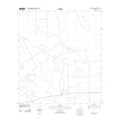
2013 Map of Skidmore NE
USGS Topo · Published 2013About this map
Blanco Creek and Medio Creek define the drainage patterns across this section of Bee County, where seasonal waterways carve through the landscape. The rural character of the region is evident in the sparse network of private ranch roads and county routes, including County Road 418 and County Road 419. A significant site for local history is the Mucorrera Cemetery, located in the northeastern portion of the quadrangle near the headwaters of Mucorrera Creek. This area illustrates the late 20th and early 21st-century cattle ranching environment, with large parcels of land divided by routes such as Private Road 4021 and Private Road 4009. Smaller tributaries like Neddy Creek and Murphy Creek cross the southern half, showing the hydrological network that has influenced property lines and land use for generations.
Find a feature on this map
18 named features on this map. Tap any name to fly to it.
Don’t see what you’re looking for? This feature index may not catch every label — zoom into the map to look around manually.
Map Details
Editions of this 2013 Skidmore NE Map
This is the sole edition of this map. No revisions or reprints were ever made.
Other maps of this area

1953 · Beeville
USGS Topo · 1:250,000

1954 · Skidmore
USGS Topo · 1:62,500

1954 · Refugio
USGS Topo · 1:62,500

1956 · Beeville
USGS Topo · 1:250,000

1960 · Beeville
USGS Topo · 1:250,000

1962 · Melo
USGS Topo · 1:24,000

1963 · Lazy F Ranch
USGS Topo · 1:24,000

1963 · Berclair
USGS Topo · 1:24,000

1978 · Refugio SW
USGS Topo · 1:24,000

1979 · Burkes Ridge
USGS Topo · 1:24,000