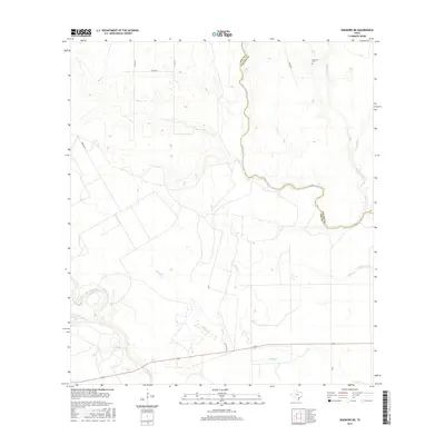
2016 Map of Skidmore NE
USGS Topo · Published 2016About this map
Blanco Cr meanders through the central landscape of Bee and Goliad counties, defining a boundary between these two South Texas territories. This 2016 survey illustrates a largely rural expanse shaped by its drainage networks, where several watercourses like Mucorrera Cr, Goat Cr, and Murphy Cr feed into the larger creek system. These waterways historically influenced the siting of early improvements and rural properties across the coastal plain.
Find a feature on this map
15 named features on this map. Tap any name to fly to it.
Don’t see what you’re looking for? This feature index may not catch every label — zoom into the map to look around manually.
Map Details
Editions of this 2016 Skidmore NE Map
This is the sole edition of this map. No revisions or reprints were ever made.
Other maps of this area

1953 · Beeville
USGS Topo · 1:250,000

1954 · Skidmore
USGS Topo · 1:62,500

1954 · Refugio
USGS Topo · 1:62,500

1956 · Beeville
USGS Topo · 1:250,000

1960 · Beeville
USGS Topo · 1:250,000

1962 · Melo
USGS Topo · 1:24,000

1963 · Lazy F Ranch
USGS Topo · 1:24,000

1963 · Berclair
USGS Topo · 1:24,000

1978 · Refugio SW
USGS Topo · 1:24,000

1979 · Burkes Ridge
USGS Topo · 1:24,000