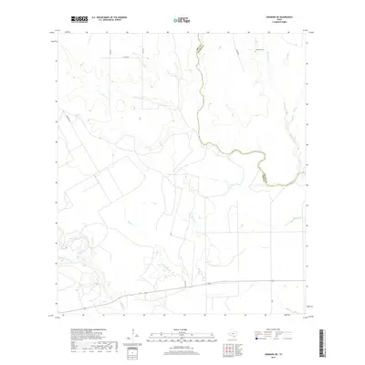
2019 Map of Skidmore NE
USGS Topo · Published 2019About this map
Bee Co Goliad Co borders define the eastern edge of this landscape, where a network of seasonal and perennial waterways carves through the coastal plain of South Texas. The drainage patterns are dominated by the winding course of Blanco Cr, which forms a significant portion of the county boundary, and the southward-flowing Mucorrera Cr. This 2019 survey documents a largely rural area characterized by cattle ranching infrastructure and scattered historical markers.
Find a feature on this map
16 named features on this map. Tap any name to fly to it.
Don’t see what you’re looking for? This feature index may not catch every label — zoom into the map to look around manually.
Map Details
Editions of this 2019 Skidmore NE Map
This is the sole edition of this map. No revisions or reprints were ever made.
Other maps of this area

1953 · Beeville
USGS Topo · 1:250,000

1954 · Skidmore
USGS Topo · 1:62,500

1954 · Refugio
USGS Topo · 1:62,500

1956 · Beeville
USGS Topo · 1:250,000

1960 · Beeville
USGS Topo · 1:250,000

1962 · Melo
USGS Topo · 1:24,000

1963 · Lazy F Ranch
USGS Topo · 1:24,000

1963 · Berclair
USGS Topo · 1:24,000

1978 · Refugio SW
USGS Topo · 1:24,000

1979 · Burkes Ridge
USGS Topo · 1:24,000