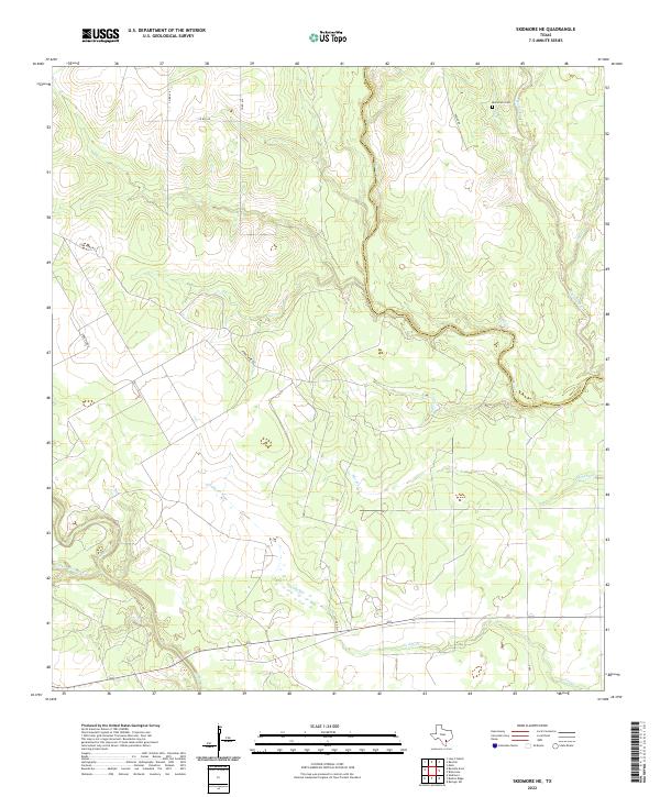
2022 Map of Skidmore NE
USGS Topo · Published 2022About this map
Blanco Cr and Medio Cr define the hydrological character of this South Texas landscape, where the meandering drainage patterns dictate the placement of rural infrastructure. The boundary between Goliad and Bee Counties follows the serpentine path of Blanco Creek, a common Texas practice of using natural watercourses as administrative borders. This area remains largely agrarian, characterized by a sparse network of county roads like Cobb Webb Rd and Power Rd that connect isolated properties and ranches. A point of significant interest for genealogists and local historians is the Mucorrera Cem, located in the northeastern portion of the map near the banks of Mucorrera Cr. The map captures a landscape where named creeks such as Neddy Cr and Murphy Cr provide the primary geographic landmarks in a region largely defined by its rural connectivity.
Find a feature on this map
16 named features on this map. Tap any name to fly to it.
Don’t see what you’re looking for? This feature index may not catch every label — zoom into the map to look around manually.
Map Details
Editions of this 2022 Skidmore NE Map
This is the sole edition of this map. No revisions or reprints were ever made.
Other maps of this area

1953 · Beeville
USGS Topo · 1:250,000

1954 · Skidmore
USGS Topo · 1:62,500

1954 · Refugio
USGS Topo · 1:62,500

1956 · Beeville
USGS Topo · 1:250,000

1960 · Beeville
USGS Topo · 1:250,000

1962 · Melo
USGS Topo · 1:24,000

1963 · Lazy F Ranch
USGS Topo · 1:24,000

1963 · Berclair
USGS Topo · 1:24,000

1978 · Refugio SW
USGS Topo · 1:24,000

1979 · Burkes Ridge
USGS Topo · 1:24,000