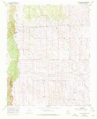
1954 Map of Sky Village SE
USGS Topo · Published 1975About this map
The Town of Alameda Grant dominates this high-desert landscape in Sandoval County, showing a transition between Spanish colonial land tenure and 20th-century infrastructure. This 1954 survey, updated with 1972 aerial photography, reveals a systematic grid of potential roads and fence lines beginning to overlay the natural drainage patterns of the Arroyo de las Calabacillas and Navajo Draw. While large sections remain open range, the presence of localized features like Centipede Well, Mentira Well, and various Water Tanks highlights the critical importance of water management in this arid environment. An extensive Aqueduct and Pipe Line system further indicate the region's developing utility network during the early 1970s, as the area north of Albuquerque prepared for expansion across the Grant Boundary.
Find a feature on this map
11 named features on this map. Tap any name to fly to it.
Don’t see what you’re looking for? This feature index may not catch every label — zoom into the map to look around manually.
Map Details
Editions of this 1954 Sky Village SE Map
2 editions found
Other maps of this area

1888 · Bernalillo
USGS Topo · 1:125,000

1889 · Albuquerque
USGS Topo · 1:125,000

1893 · Albuquerque
USGS Topo · 1:125,000

1934 · Griegos
USGS Topo · 1:24,000

1938 · Albuquerque
USGS Topo · 1:62,500

1953 · Bernalillo NW
USGS Topo · 1:24,000

1954 · Volcano Ranch
USGS Topo · 1:24,000

1954 · Loma Machete
USGS Topo · 1:24,000

1954 · Sky Village
USGS Topo · 1:24,000
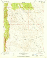
1954 · Sky Village SE
USGS Topo · 1:24,000