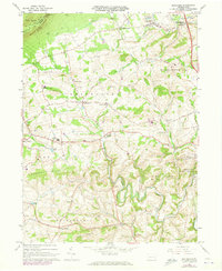
1965 Map of Slatedale
USGS Topo · Published 1973About this map
Blue Mountain and its high point at Bake Oven Knob define the northern limit of this Pennsylvania landscape, where the Appalachian Trail follows the ridge line above Lehigh Furnace. Below the ridge, the land transitions into the rolling agricultural terrain of Lehigh County, characterized by a dense network of small villages like Slatedale, Germansville, and New Tripoli. The industrial history of the region is evident in the numerous Quarries and the Old Railroad Grade that winds through Jordan Valley. Several historic rural centers are anchored by local institutions, including Heidelberg Ch and Peters Sch. To the south, the terrain becomes more winding as Jordan Creek meanders toward the Trexler Game Preserve, a significant conservation area established on former farmland. This 1960s era survey captures the traditional village-and-farm layout before the full impact of the Northeast Extension changed local transit patterns.
Find a feature on this map
80 named features on this map. Tap any name to fly to it.
Don’t see what you’re looking for? This feature index may not catch every label — zoom into the map to look around manually.
Map Details
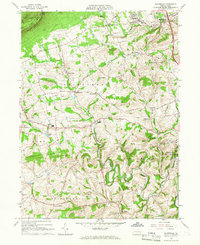
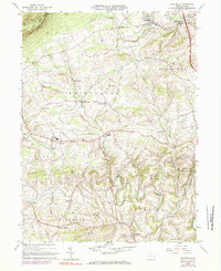
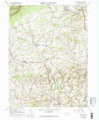
Editions of this 1965 Slatedale Map
4 editions found
Other maps of this area

1889 · Hazleton
USGS Topo · 1:62,500

1891 · Hazleton
USGS Topo · 1:62,500

1893 · Hazleton
USGS Topo · 1:62,500

1902 · Slatington
USGS Topo · 1:62,500

1909 · Hamburg
USGS Topo · 1:62,500

1911 · Hamburg
USGS Topo · 1:62,500

1922 · Mauch Chunk
USGS Topo · 1:62,500

1924 · Mauch Chunk
USGS Topo · 1:62,500

1937 · Allentown West
USGS Topo · 1:48,000

1942 · Allentown West
USGS Topo · 1:62,500
Featured Places
- Weisenberg Township, PA
- Lowhill Township, PA
- Werleys Corner, Weisenberg Township
- Lehigh Furnace, Washington Township
- Heidelberg Township, PA