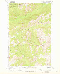
1970 Map of Slategoat Mountain
USGS Topo · Published 1973About this map
The Continental Divide serves as the spine of this remote mountain landscape, where the Flathead National Forest meets the Lewis and Clark National Forest. Established during a time of rigorous conservation and wilderness management, the map highlights the vast Bob Marshall Wilderness and the Sun River Game Preserve. The topography is dominated by the sheer rise of the Chinese Wall and high summits like Redhead Peak and Slategoat Mtn.
Find a feature on this map
27 named features on this map. Tap any name to fly to it.
Don’t see what you’re looking for? This feature index may not catch every label — zoom into the map to look around manually.
Map Details
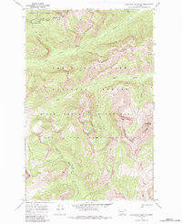
Editions of this 1970 Slategoat Mountain Map
2 editions found
Other maps of this area

1903 · Saypo
USGS Topo · 1:125,000

1936 · Silvertip
USGS Topo · 1:96,000

1942 · Silvertip
USGS Topo · 1:125,000

1955 · Choteau
USGS Topo · 1:250,000

1957 · Choteau
USGS Topo · 1:250,000

1958 · Choteau
USGS Topo · 1:250,000

1958 · Glenn Creek
USGS Topo · 1:24,000

1958 · Pretty Prairie
USGS Topo · 1:24,000

1958 · Gates Park
USGS Topo · 1:24,000

1962 · Choteau
USGS Topo · 1:250,000