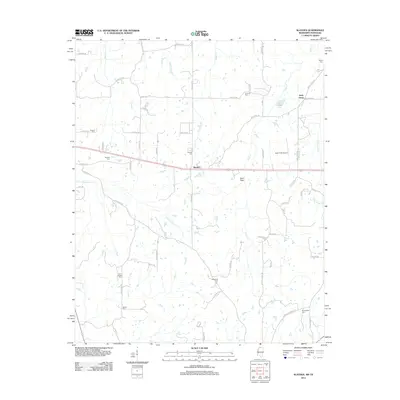
2012 Map of Slayden
USGS Topo · Published 2012About this map
Slayden serves as the central hub of this northern Mississippi landscape, where the rural road network converges near the Jeter Field Airport. This 2012 survey illustrates a region defined by its creeks and agricultural character, with Little Coldwater Cr and Clear Cr winding through the terrain. The map is particularly dense with small family and community burial grounds, providing a significant resource for genealogical research in Marshall County.
Find a feature on this map
67 named features on this map. Tap any name to fly to it.
Don’t see what you’re looking for? This feature index may not catch every label — zoom into the map to look around manually.
Map Details
Editions of this 2012 Slayden Map
This is the sole edition of this map. No revisions or reprints were ever made.
Other maps of this area

1943 · Collierville
USGS Topo · 1:62,500

1948 · Byhalia
USGS Topo · 1:62,500

1949 · Moscow
USGS Topo · 1:62,500

1953 · Holly Springs
USGS Topo · 1:62,500

1953 · Collierville
USGS Topo · 1:50,000

1956 · Blytheville
USGS Topo · 1:250,000

1956 · Tupelo
USGS Topo · 1:250,000

1958 · Tupelo
USGS Topo · 1:250,000

1959 · Blytheville
USGS Topo · 1:250,000

1964 · Holly Springs SE
USGS Topo · 1:24,000