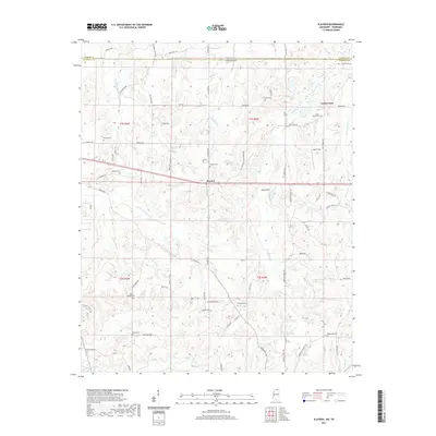
2021 Map of Slayden
USGS Topo · Published 2021About this map
Early Grove and Slayden anchor this rural landscape along the northern border of Marshall County, where the terrain is defined by the drainage basins of the Coldwater River and Little Coldwater Cr. The map reveals a dense network of family-named cemeteries that speak to the deep-rooted genealogy of the region, including Bailey Cem near the Tennessee state line and Gatewood Cem further south.
Find a feature on this map
74 named features on this map. Tap any name to fly to it.
Don’t see what you’re looking for? This feature index may not catch every label — zoom into the map to look around manually.
Map Details
Editions of this 2021 Slayden Map
This is the sole edition of this map. No revisions or reprints were ever made.
Other maps of this area

1943 · Collierville
USGS Topo · 1:62,500

1948 · Byhalia
USGS Topo · 1:62,500

1949 · Moscow
USGS Topo · 1:62,500

1953 · Holly Springs
USGS Topo · 1:62,500

1953 · Collierville
USGS Topo · 1:50,000

1956 · Blytheville
USGS Topo · 1:250,000

1956 · Tupelo
USGS Topo · 1:250,000

1958 · Tupelo
USGS Topo · 1:250,000

1959 · Blytheville
USGS Topo · 1:250,000

1964 · Holly Springs SE
USGS Topo · 1:24,000