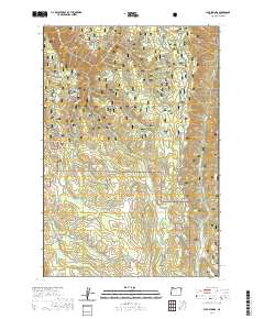
2020 Map of Sled Springs
USGS Topo · Published 2020About this map
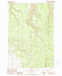
Wallowa National Forest defines the character of this high-elevation landscape in Wallowa County. The terrain is structured by a series of prominent rises including Kuhn Ridge, McAllister Ridge, and Powwatka Ridge, which create the deep drainages for Mud Cr and Davis Cr. This modern data collection highlights the essential water sources that have long dictated movement through the forest, from the eponymous Sled Springs to Elkhorn Spring and Hideaway Spring.
Find a feature on this map
39 named features on this map. Tap any name to fly to it.
Don’t see what you’re looking for? This feature index may not catch every label — zoom into the map to look around manually.
Map Details
Editions of this 2020 Sled Springs Map
This is the sole edition of this map. No revisions or reprints were ever made.
Other maps of this area

1955 · Grangeville
USGS Topo · 1:250,000

1957 · Sled Springs
USGS Topo · 1:62,500

1957 · Elk Mountain
USGS Topo · 1:62,500

1959 · Grangeville
USGS Topo · 1:250,000

1967 · Wood Butte
USGS Topo · 1:24,000
1967 · Table Mountain
USGS Topo · 1:24,000
1967 · Shamrock Creek
USGS Topo · 1:24,000

1982 · Wallowa
USGS Topo · 1:100,000
1990 · Hicks Spring
USGS Topo · 1:24,000
1990 · Sherod Meadows
USGS Topo · 1:24,000