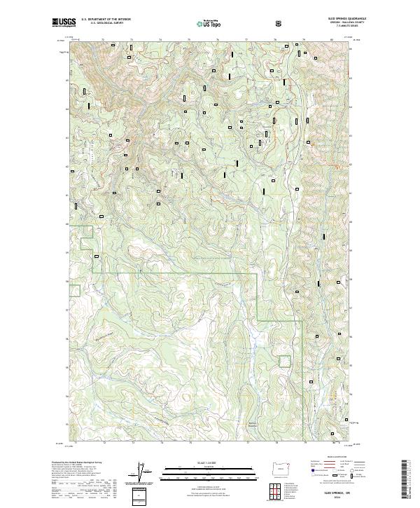
2024 Map of Sled Springs
USGS Topo · Published 2024About this map
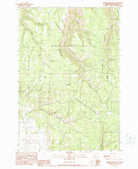
Wallowa National Forest land defines this portion of the high country, where the headwaters of numerous creeks carve a complex system of ridges and meadows. The landscape is characterized by prominent natural benchmarks like Kuhn Ridge, McAllister Ridge, and Starvation Ridge, which separate the drainages of Mud Creek and Davis Creek. Isolated water sources such as Sled Springs, McAllister Spring, and Starvation Spring were vital points of interest for early forest management and grazing operations in these uplands.
Find a feature on this map
41 named features on this map. Tap any name to fly to it.
Don’t see what you’re looking for? This feature index may not catch every label — zoom into the map to look around manually.
Map Details
Editions of this 2024 Sled Springs Map
This is the sole edition of this map. No revisions or reprints were ever made.
Other maps of this area

1955 · Grangeville
USGS Topo · 1:250,000

1957 · Sled Springs
USGS Topo · 1:62,500

1957 · Elk Mountain
USGS Topo · 1:62,500

1959 · Grangeville
USGS Topo · 1:250,000

1967 · Wood Butte
USGS Topo · 1:24,000
1967 · Table Mountain
USGS Topo · 1:24,000
1967 · Shamrock Creek
USGS Topo · 1:24,000

1982 · Wallowa
USGS Topo · 1:100,000
1990 · Hicks Spring
USGS Topo · 1:24,000
1990 · Sherod Meadows
USGS Topo · 1:24,000