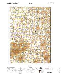
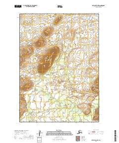
2019 Map of Sleetmute A-1 NE
USGS Topo · Published 2019About this map
Undeveloped Alaskan wilderness defines this 2019 survey of the T13n R38w and T12n R38w townships. The landscape is characterized by complex hydrology and varying elevations, documented through data from the Spot satellite imagery and the National Hydrography Dataset. This map is almost entirely devoid of human infrastructure, lacking the settlements, roads, or named landmarks typical of more developed regions. Instead, it serves as a precise record of the natural terrain, with contours provided by the National Elevation Dataset to detail the rises and depressions across T13n R39w and T12n R39w. For the researcher or traveler, it provides a fundamental baseline of the land before any permanent habitation or transport networks were established.
Find a feature on this map
4 named features on this map. Tap any name to fly to it.
Don’t see what you’re looking for? This feature index may not catch every label — zoom into the map to look around manually.
Map Details
Editions of this 2019 Sleetmute A-1 NE Map
This is the sole edition of this map. No revisions or reprints were ever made.
Other maps of this area

1950 · Sleetmute
USGS Topo · 1:250,000

1951 · Lime Hills
USGS Topo · 1:250,000

1954 · Lime Hills A-8
USGS Topo · 1:63,360

1954 · Sleetmute
USGS Topo · 1:250,000
1954 · Sleetmute A-1
USGS Topo · 1:63,360

1954 · Lime Hills B-8
USGS Topo · 1:63,360
1954 · Sleetmute B-1
USGS Topo · 1:63,360

1958 · Lime Hills
USGS Topo · 1:250,000
2019 · Sleetmute A-1 NW
USGS Topo · 1:25,000
2019 · Lime Hills A-8 SW
USGS Topo · 1:25,000