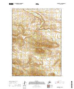
2019 Map of Sleetmute A-1 NW
USGS Topo · Published 2019About this map
Boundary lines for T13n R40w and T13n R39w define the upland layout of this remote landscape in the Bethel Census Area. The topography is characterized by a series of repeating ridges and valleys, documented through 10-foot contour intervals from the National Elevation Dataset. This 2019 survey focuses on the physical geography and public land subdivisions, including T12n R40w and T12n R39w, without showing established roads or named settlements. It serves as a foundational record of the area's natural hydrography and terrain before any modern industrial or infrastructure developments reached this particular interior quadrant.
Find a feature on this map
4 named features on this map. Tap any name to fly to it.
Don’t see what you’re looking for? This feature index may not catch every label — zoom into the map to look around manually.
Map Details
Editions of this 2019 Sleetmute A-1 NW Map
This is the sole edition of this map. No revisions or reprints were ever made.
Other maps of this area

1950 · Sleetmute
USGS Topo · 1:250,000

1954 · Sleetmute
USGS Topo · 1:250,000

1954 · Sleetmute B-2
USGS Topo · 1:63,360
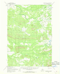
1954 · Sleetmute A-1
USGS Topo · 1:63,360
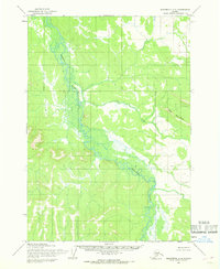
1954 · Sleetmute A-2
USGS Topo · 1:63,360
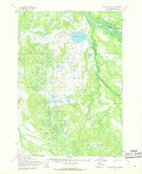
1954 · Sleetmute B-1
USGS Topo · 1:63,360
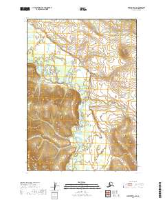
2019 · Sleetmute A-2 SE
USGS Topo · 1:25,000
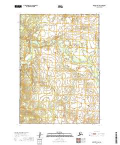
2019 · Sleetmute B-2 SE
USGS Topo · 1:25,000
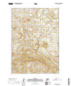
2019 · Sleetmute B-1 SE
USGS Topo · 1:25,000
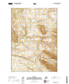
2019 · Sleetmute A-2 NE
USGS Topo · 1:25,000