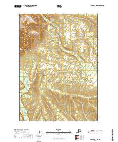
2019 Map of Sleetmute A-5 NW
USGS Topo · Published 2019About this map
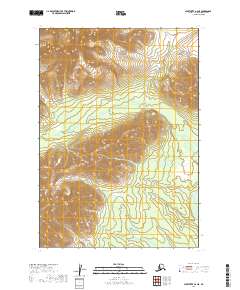
Portage Cr flows through this remote stretch of the Bethel Census Area, winding through a landscape defined by dramatic elevation changes. The survey captures the transition between the valley floors and the higher ridges within t13n r48w and t13n r47w, where the contour lines reflect the intricate drainage patterns of the Alaskan interior. This 2019 edition provides a modern topographic baseline for the region, documenting the hydrography of the creek as it moves through the townships of t12n r48w and t12n r47w. The map is primarily a study of undisturbed terrain, showing the natural course of the water through a region devoid of named human settlements or infrastructure.
Find a feature on this map
5 named features on this map. Tap any name to fly to it.
Don’t see what you’re looking for? This feature index may not catch every label — zoom into the map to look around manually.
Map Details
Editions of this 2019 Sleetmute A-5 NW Map
This is the sole edition of this map. No revisions or reprints were ever made.
Other maps of this area

1950 · Sleetmute
USGS Topo · 1:250,000

1954 · Sleetmute
USGS Topo · 1:250,000

1954 · Sleetmute A-5
USGS Topo · 1:63,360

1954 · Sleetmute B-5
USGS Topo · 1:63,360

1954 · Sleetmute A-6
USGS Topo · 1:63,360

1954 · Sleetmute B-6
USGS Topo · 1:63,360
2019 · Sleetmute B-6 SE
USGS Topo · 1:25,000
2019 · Sleetmute B-5 SW
USGS Topo · 1:25,000
2019 · Sleetmute B-5 SE
USGS Topo · 1:25,000
2019 · Sleetmute A-6 NE
USGS Topo · 1:25,000