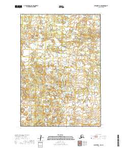
2019 Map of Sleetmute B-1 NW
USGS Topo · Published 2019About this map
Elutuli Cr winds through this expanse of the Bethel census area, defining a landscape dominated by complex hydrography and intricate wetlands. This 2019 survey, based on data reaching back to the late 19th century, reveals the persistence of traditional drainage patterns across the interior. The map focuses on the legal divisions of the Public Land Survey System, specifically detailing township boundaries like t16n r40w and t16n r39w. For researchers, the map provides a precise look at the seasonal watercourses and elevation contours that have long shaped navigation and seasonal subsistence in this part of Alaska.
Find a feature on this map
5 named features on this map. Tap any name to fly to it.
Don’t see what you’re looking for? This feature index may not catch every label — zoom into the map to look around manually.
Map Details
Editions of this 2019 Sleetmute B-1 NW Map
This is the sole edition of this map. No revisions or reprints were ever made.
Other maps of this area

1950 · Sleetmute
USGS Topo · 1:250,000

1954 · Sleetmute C-2
USGS Topo · 1:63,360

1954 · Sleetmute C-1
USGS Topo · 1:63,360

1954 · Sleetmute
USGS Topo · 1:250,000

1954 · Sleetmute B-2
USGS Topo · 1:63,360
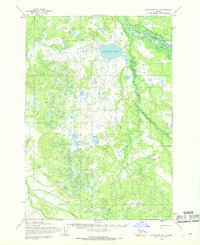
1954 · Sleetmute B-1
USGS Topo · 1:63,360
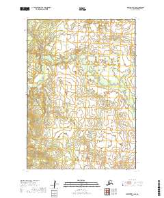
2019 · Sleetmute B-2 SE
USGS Topo · 1:25,000
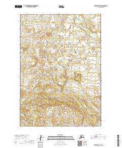
2019 · Sleetmute B-1 SE
USGS Topo · 1:25,000
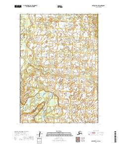
2019 · Sleetmute C-1 SE
USGS Topo · 1:25,000
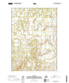
2019 · Sleetmute C-2 SE
USGS Topo · 1:25,000