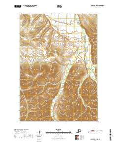
2019 Map of Sleetmute B-7 NW
USGS Topo · Published 2019About this map
The Holokuk River dominates this northern wilderness in the Bethel Census Area, winding through a complex landscape defined by dramatic elevation changes. This region is characterized by its isolation and the intricate drainage patterns of the Kogoyuk Cr and Ski Cr, which flow through the steep terrain to reach the river valley below. In the southeast corner of the map, Gold Run suggests the potential for historical prospecting, a common pursuit in this part of the Alaskan interior where mineral extraction often drove early exploration.
Find a feature on this map
8 named features on this map. Tap any name to fly to it.
Don’t see what you’re looking for? This feature index may not catch every label — zoom into the map to look around manually.
Map Details
Editions of this 2019 Sleetmute B-7 NW Map
This is the sole edition of this map. No revisions or reprints were ever made.
Other maps of this area

1950 · Sleetmute
USGS Topo · 1:250,000
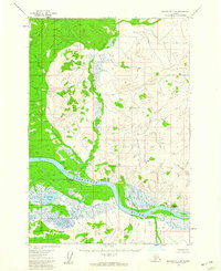
1954 · Sleetmute C-8
USGS Topo · 1:63,360

1954 · Sleetmute
USGS Topo · 1:250,000
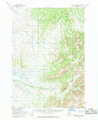
1954 · Sleetmute B-8
USGS Topo · 1:63,360

1954 · Sleetmute B-7
USGS Topo · 1:63,360
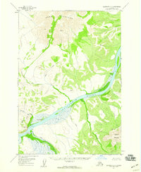
1957 · Sleetmute C-7
USGS Topo · 1:63,360
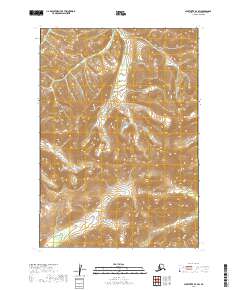
2019 · Sleetmute B-7 SW
USGS Topo · 1:25,000
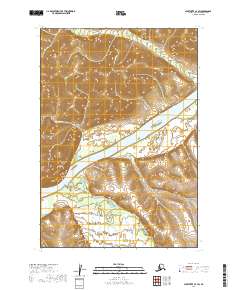
2019 · Sleetmute C-7 SW
USGS Topo · 1:25,000
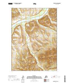
2019 · Sleetmute C-7 SE
USGS Topo · 1:25,000
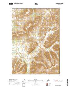
2019 · Sleetmute B-8 SE
USGS Topo · 1:25,000