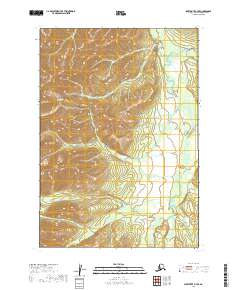
2019 Map of Sleetmute B-7 SE
USGS Topo · Published 2019About this map
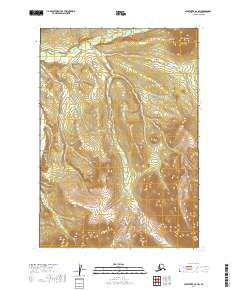
The Kuskokwim Mountains dominate this interior Alaskan landscape, characterized by dramatic elevation changes and a dense network of high-latitude watercourses. The drainage patterns here are defined by the Holokuk River, which snakes through the eastern portion of the quadrangle, receiving waters from tributaries like Chineekluk Creek and Egozuk Cr. The topography illustrates the complex relationship between the upland ridges and the saturated lowlands, where Girl Cr and Camp Cr cut through the terrain. This 2019 survey provides a precise look at the land's contours and hydrologic features in the Bethel Census Area, mapping a wilderness shaped by extreme shifts in elevation and seasonally fluctuating river systems.
Find a feature on this map
12 named features on this map. Tap any name to fly to it.
Don’t see what you’re looking for? This feature index may not catch every label — zoom into the map to look around manually.
Map Details
Editions of this 2019 Sleetmute B-7 SE Map
This is the sole edition of this map. No revisions or reprints were ever made.
Other maps of this area

1950 · Sleetmute
USGS Topo · 1:250,000

1954 · Sleetmute
USGS Topo · 1:250,000

1954 · Sleetmute A-7
USGS Topo · 1:63,360

1954 · Sleetmute A-6
USGS Topo · 1:63,360

1954 · Sleetmute B-6
USGS Topo · 1:63,360

1954 · Sleetmute B-7
USGS Topo · 1:63,360
2019 · Sleetmute B-7 SW
USGS Topo · 1:25,000
2019 · Sleetmute A-7 NW
USGS Topo · 1:25,000
2019 · Sleetmute B-7 NE
USGS Topo · 1:25,000
2019 · Sleetmute B-6 SW
USGS Topo · 1:25,000