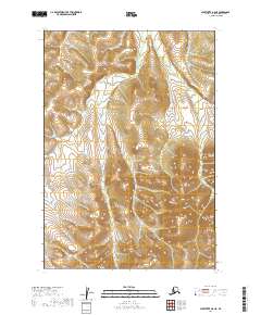
2019 Map of Sleetmute B-8 NE
USGS Topo · Published 2019About this map
The northern reaches of the Victoria Cr drainage define this section of the Bethel Census Area, where the water flows through a landscape marked by substantial elevation shifts. In the lower reaches of the quadrangle, Divestack Cr moves through the terrain, illustrating the natural drainage patterns common to this interior Alaskan region. The map provides a precise look at the township and range boundaries, specifically where t16n r52w, t16n r53w, t15n r53w, and t15n r52w meet. This survey is primarily a record of hydrology and topography, capturing the land's character before modern infrastructure influenced these remote coordinates.
Find a feature on this map
6 named features on this map. Tap any name to fly to it.
Don’t see what you’re looking for? This feature index may not catch every label — zoom into the map to look around manually.
Map Details
Editions of this 2019 Sleetmute B-8 NE Map
This is the sole edition of this map. No revisions or reprints were ever made.
Other maps of this area

1950 · Sleetmute
USGS Topo · 1:250,000
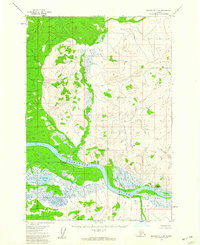
1954 · Sleetmute C-8
USGS Topo · 1:63,360

1954 · Sleetmute
USGS Topo · 1:250,000
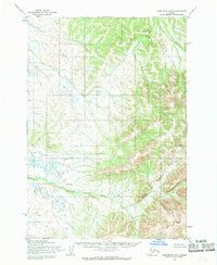
1954 · Sleetmute B-8
USGS Topo · 1:63,360

1954 · Sleetmute B-7
USGS Topo · 1:63,360
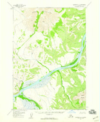
1957 · Sleetmute C-7
USGS Topo · 1:63,360
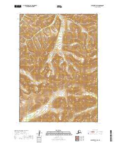
2019 · Sleetmute B-7 SW
USGS Topo · 1:25,000
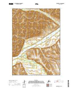
2019 · Sleetmute C-7 SW
USGS Topo · 1:25,000
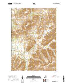
2019 · Sleetmute B-8 SE
USGS Topo · 1:25,000
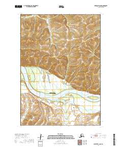
2019 · Sleetmute C-8 SE
USGS Topo · 1:25,000