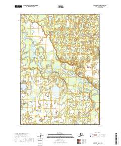
2019 Map of Sleetmute C-2 NE
USGS Topo · Published 2019About this map
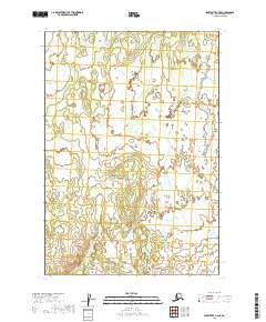
Stony River winds through this expanse of the Bethel Census Area, defining a landscape dominated by complex hydrological patterns and wetland ecosystems. The river's meandering course creates numerous side channels and oxbows, illustrating the fluid nature of the Alaskan interior's drainage systems. In the southeastern portion of the quadrangle, Muskeg Creek feeds into the primary waterway, surrounded by the characteristic saturated terrain that gives the creek its name. This 2019 survey, based on orthophotography and hydrographic data, highlights a region largely devoid of permanent human structures or roads, emphasizing the preservation of the natural wilderness. The map is organized by the Public Land Survey System grids of t19n r40w and t18n r39w, providing a precise spatial framework for this remote territory.
Find a feature on this map
6 named features on this map. Tap any name to fly to it.
Don’t see what you’re looking for? This feature index may not catch every label — zoom into the map to look around manually.
Map Details
Editions of this 2019 Sleetmute C-2 NE Map
This is the sole edition of this map. No revisions or reprints were ever made.
Other maps of this area

1950 · Sleetmute
USGS Topo · 1:250,000

1954 · Sleetmute D-1
USGS Topo · 1:63,360

1954 · Sleetmute C-2
USGS Topo · 1:63,360

1954 · Sleetmute C-1
USGS Topo · 1:63,360

1954 · Sleetmute D-2
USGS Topo · 1:63,360

1954 · Sleetmute
USGS Topo · 1:250,000
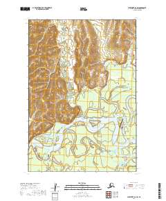
2019 · Sleetmute D-2 SW
USGS Topo · 1:25,000
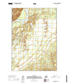
2019 · Sleetmute D-1 SW
USGS Topo · 1:25,000
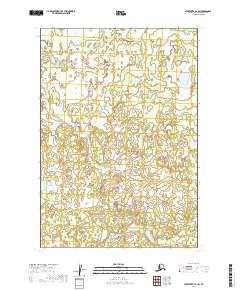
2019 · Sleetmute C-2 SW
USGS Topo · 1:25,000
2019 · Sleetmute C-2 SE
USGS Topo · 1:25,000