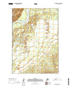
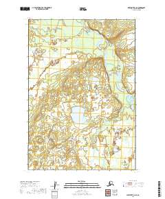
2019 Map of Sleetmute D-1 SW
USGS Topo · Published 2019About this map
The Kuskokwim River defines the northwestern corner of this landscape, its broad course cutting through a vast expanse of wetlands and low-lying alluvial plains within the Bethel Census Area. The terrain is characterized by an intricate network of marshes and waterbodies, organized by the Public Land Survey System grids of T21n R39w, T21n R38w, and T20n R39w. This 2019 survey illustrates the characteristic drainage patterns and seasonal floodplains that dominate this portion of the interior, where the lack of established roads or permanent settlements highlights the importance of the river corridor for travel and survival.
Find a feature on this map
7 named features on this map. Tap any name to fly to it.
Don’t see what you’re looking for? This feature index may not catch every label — zoom into the map to look around manually.
Map Details
Editions of this 2019 Sleetmute D-1 SW Map
This is the sole edition of this map. No revisions or reprints were ever made.
Other maps of this area

1950 · Sleetmute
USGS Topo · 1:250,000

1954 · Sleetmute D-1
USGS Topo · 1:63,360

1954 · Sleetmute C-2
USGS Topo · 1:63,360

1954 · Sleetmute C-1
USGS Topo · 1:63,360

1954 · Sleetmute D-2
USGS Topo · 1:63,360

1954 · Sleetmute
USGS Topo · 1:250,000
2019 · Sleetmute C-1 NE
USGS Topo · 1:25,000
2019 · Sleetmute C-2 NE
USGS Topo · 1:25,000
2019 · Sleetmute D-2 NE
USGS Topo · 1:25,000
2019 · Sleetmute D-1 SE
USGS Topo · 1:25,000