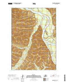
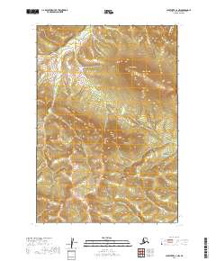
2019 Map of Sleetmute C-4 NE
USGS Topo · Published 2019About this map
The confluence of the Kuskokwim River and the Holitna River serves as the focal point for this interior Alaskan region near the village of Sleetmute. Settlement patterns here are dictated by the waterways, with the historic Mellicks Trading Post positioned at a strategic bend in the river. This 2019 survey documents the infrastructure of the remote community, including the Sleetmute Airport and the local Cemetery Rd. The landscape is a complex network of wetlands and drainage systems, where Vreeland Cr feeds into the Kuskokwim from the west. The transition from the flat river valley to the rising upland terrain is clearly visible through dense contouring, illustrating the geography that has long constrained and shaped human activity in the Bethel Census Area.
Find a feature on this map
12 named features on this map. Tap any name to fly to it.
Don’t see what you’re looking for? This feature index may not catch every label — zoom into the map to look around manually.
Map Details
Editions of this 2019 Sleetmute C-4 NE Map
This is the sole edition of this map. No revisions or reprints were ever made.
Other maps of this area

1950 · Sleetmute
USGS Topo · 1:250,000

1954 · Sleetmute C-4
USGS Topo · 1:63,360

1954 · Sleetmute D-4
USGS Topo · 1:63,360

1954 · Sleetmute D-3
USGS Topo · 1:63,360

1954 · Sleetmute C-3
USGS Topo · 1:63,360

1954 · Sleetmute
USGS Topo · 1:250,000
2019 · Sleetmute C-3 NW
USGS Topo · 1:25,000
2019 · Sleetmute D-3 SW
USGS Topo · 1:25,000
2019 · Sleetmute C-3 SW
USGS Topo · 1:25,000
2019 · Sleetmute C-4 NW
USGS Topo · 1:25,000