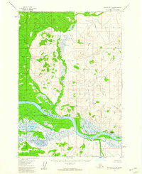
1954 Map of Sleetmute C-8
USGS Topo · Published 1960About this map
The Kuskokwim River serves as the central artery for this interior Alaskan landscape, which reflects a period of transition in the mid-1950s. The site of Kolmakof sits on the northern bank, marking a location of significant historical activity near the confluence of the Kolmakof River. Across the water to the south, the Napaimiut (Napaimiut PO) settlement is identified with its post office and a designated Landing Area along the riverbank, indicating its role as a local transportation hub.
Find a feature on this map
13 named features on this map. Tap any name to fly to it.
Don’t see what you’re looking for? This feature index may not catch every label — zoom into the map to look around manually.
Map Details
Editions of this 1954 Sleetmute C-8 Map
2 editions found
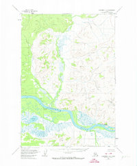
Other maps of this area

1947 · Russian Mission
USGS Topo · 1:250,000

1950 · Russian Mission
USGS Topo · 1:250,000

1950 · Sleetmute
USGS Topo · 1:250,000

1952 · Russian Mission C-1
USGS Topo · 1:63,360

1952 · Russian Mission D-1
USGS Topo · 1:63,360
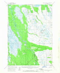
1952 · Russian Mission B-1
USGS Topo · 1:63,360
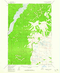
1954 · Sleetmute D-8
USGS Topo · 1:63,360
1954 · Sleetmute D-7
USGS Topo · 1:63,360

1954 · Sleetmute
USGS Topo · 1:250,000
1954 · Sleetmute B-8
USGS Topo · 1:63,360