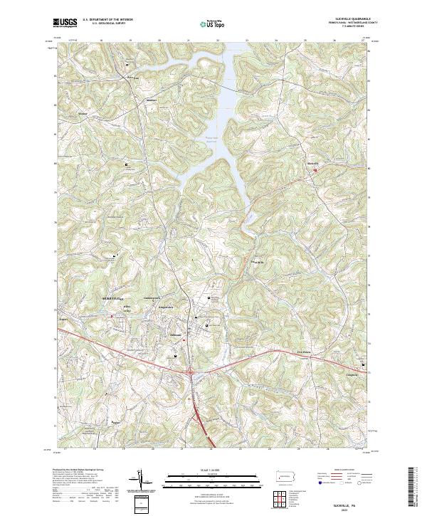
2023 Map of Slickville
USGS Topo · Published 2023About this map
Delmont and the surrounding townships in Westmoreland County are defined by a rolling landscape of stream valleys and family-named ridges. The map details the central role of faith and memory in these communities, with numerous burial grounds such as Poke Run Church Cem and the Kistler Family Cem scattered across the uplands. The Beaver Run Reservoir dominates the northern terrain, where Beaver Run is impounded amidst a network of rural roads like Saltsburg Rd and Alcorns Cross Rd.
Find a feature on this map
186 named features on this map. Tap any name to fly to it.
Don’t see what you’re looking for? This feature index may not catch every label — zoom into the map to look around manually.
Map Details
Editions of this 2023 Slickville Map
This is the sole edition of this map. No revisions or reprints were ever made.
Other maps of this area

1900 · Latrobe
USGS Topo · 1:62,500

1902 · Latrobe
USGS Topo · 1:62,500

1902 · Elders Ridge
USGS Topo · 1:62,500

1903 · Latrobe
USGS Topo · 1:62,500

1904 · Elders Ridge
USGS Topo · 1:62,500

1904 · Greensburg
USGS Topo · 1:62,500

1906 · Greensburg
USGS Topo · 1:62,500

1907 · Freeport
USGS Topo · 1:62,500

1909 · Freeport
USGS Topo · 1:62,500

1953 · Pittsburgh
USGS Topo · 1:250,000