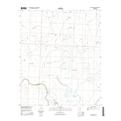
2014 Map of Smackover NE
USGS Topo · Published 2014About this map
The Ouachita River snakes along the boundary between Calhoun Co and Ouachita County, defining a landscape of low-lying wetlands and complex water systems. This river corridor is marked by distinctive features such as Haidee Shoals, Slim Island Shoal, and Haynes Bend, indicating the seasonal variability and navigation challenges of the waterway. The surrounding terrain is characterized by a high density of brakes, sloughs, and lakes, including Tom Cook Brake, Big Horseshoe Brake, and Black Lake.
Find a feature on this map
72 named features on this map. Tap any name to fly to it.
Don’t see what you’re looking for? This feature index may not catch every label — zoom into the map to look around manually.
Map Details
Editions of this 2014 Smackover NE Map
This is the sole edition of this map. No revisions or reprints were ever made.
Other maps of this area

1903 · Camden
USGS Topo · 1:125,000

1934 · Moro Bay
USGS Topo · 1:62,500

1938 · Moro Bay
USGS Topo · 1:62,500

1939 · Moro Bay
USGS Topo · 1:62,500

1953 · El Dorado
USGS Topo · 1:250,000

1957 · El Dorado
USGS Topo · 1:250,000

1958 · El Dorado
USGS Topo · 1:250,000

1960 · El Dorado
USGS Topo · 1:250,000

1962 · Smackover NE
USGS Topo · 1:24,000

1962 · Smackover
USGS Topo · 1:24,000