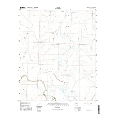
2017 Map of Smackover NE
USGS Topo · Published 2017About this map
The Ouachita River meanders across the border of Calhoun and Ouachita counties, defining a landscape of complex waterways and wetlands. This area is characterized by numerous backwater features including Big Horseshoe Brake, Hollingsworth Brake, and Viney Brake, along with named shoals such as Haidee Shoals and Slim Island Shoal. The river's influence is evident in the dense network of sloughs and lakes, like Long Lake Slough and Cages Lake, which suggest a terrain historically shaped by seasonal flooding and shifting channels.
Find a feature on this map
67 named features on this map. Tap any name to fly to it.
Don’t see what you’re looking for? This feature index may not catch every label — zoom into the map to look around manually.
Map Details
Editions of this 2017 Smackover NE Map
This is the sole edition of this map. No revisions or reprints were ever made.
Other maps of this area

1903 · Camden
USGS Topo · 1:125,000

1934 · Moro Bay
USGS Topo · 1:62,500

1938 · Moro Bay
USGS Topo · 1:62,500

1939 · Moro Bay
USGS Topo · 1:62,500

1953 · El Dorado
USGS Topo · 1:250,000

1957 · El Dorado
USGS Topo · 1:250,000

1958 · El Dorado
USGS Topo · 1:250,000

1960 · El Dorado
USGS Topo · 1:250,000

1962 · Smackover NE
USGS Topo · 1:24,000

1962 · Smackover
USGS Topo · 1:24,000