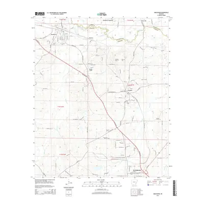
2014 Map of Smackover
USGS Topo · Published 2014About this map
The Smackover Oil and Gas Field dominates the landscape of southern Arkansas, where the industry has shaped the local geography and road network. This 2014 survey traces the intricate connections between small towns like Smackover, Norphlet, and Kenova, illustrating the region's long-standing reliance on resource extraction. The landscape is defined by the winding paths of Smackover Cr and Haynes Cr, which meander through a terrain dotted with rural cemeteries such as Sycamore Grove Cem and Rehobeth Cem.
Find a feature on this map
110 named features on this map. Tap any name to fly to it.
Don’t see what you’re looking for? This feature index may not catch every label — zoom into the map to look around manually.
Map Details
Editions of this 2014 Smackover Map
This is the sole edition of this map. No revisions or reprints were ever made.
Other maps of this area

1927 · El Dorado
USGS Topo · 1:62,500

1930 · El Dorado
USGS Topo · 1:62,500

1951 · El Dorado
USGS Topo · 1:62,500

1953 · El Dorado
USGS Topo · 1:250,000

1957 · El Dorado
USGS Topo · 1:250,000

1958 · El Dorado
USGS Topo · 1:250,000

1960 · El Dorado
USGS Topo · 1:250,000

1962 · Lisbon
USGS Topo · 1:24,000

1962 · Louann
USGS Topo · 1:24,000

1962 · Smackover NE
USGS Topo · 1:24,000